Asset-Scale Twins
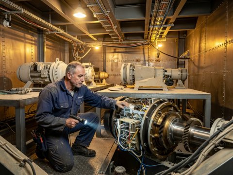
Offshore wind turbines stream gearbox acoustics, blade pitch, and wave load to onshore twins, predicting bearing fatigue weeks before an unplanned marine vessel dispatch is needed.
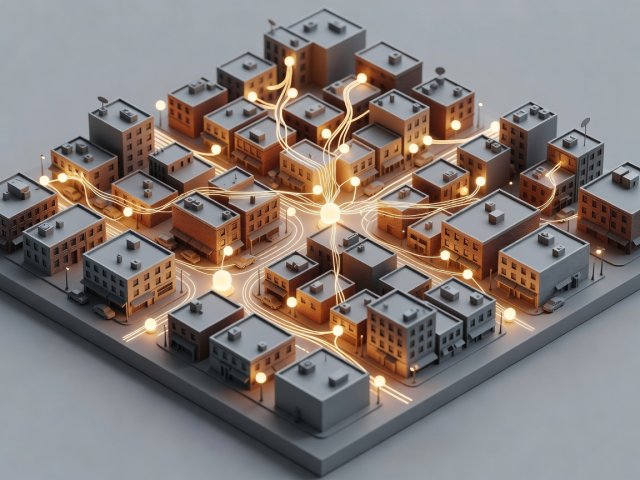
A digital twin is not defined by how shiny its surfaces look. It is defined by an umbilical cord of live state data linking an actual machine, building, or watershed to its spatial counterpart.
Long before the term "digital twin" entered engineering vocabulary through Michael Grieves's product-lifecycle work in 2002 and NASA's spacecraft roadmaps in 2010, mission controllers during Apollo 13 relied on physical ground simulators mirrored to the flight state of the damaged command and lunar modules. Today, academic literature—particularly researchers at the University of Cambridge's Centre for Digital Built Britain and the ISO 23247 manufacturing framework—draws a crisp three-step ladder based on how data flows:
| Maturity Level | Physical-to-Digital Link | Digital-to-Physical Link | Real-World Example |
|---|---|---|---|
| Digital Model | Manual survey or design import | Manual construction drawings | Pre-construction architectural BIM file (IFC) |
| Digital Shadow | Automated live sensor ingestion | Human review only | Bridge structural health dashboard showing live strain |
| Digital Twin | Automated multi-sensor fusion | Closed-loop control or operational dispatch | District cooling plant adjusting chillers from forecast load |
Because spatial context helps humans spot correlations across space and time simultaneously, digital twins now operate across vastly different scales:
Offshore wind turbines stream gearbox acoustics, blade pitch, and wave load to onshore twins, predicting bearing fatigue weeks before an unplanned marine vessel dispatch is needed.
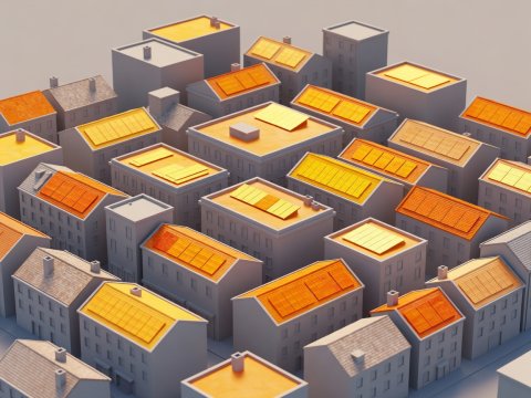
Cities such as Helsinki, Zurich, and Singapore maintain semantic 3D models using Open Geospatial Consortium standards like CityGML, combining LiDAR trees, underground utilities, and microclimate data.

European initiatives like Destination Earth (DestinE), led by ECMWF, ESA, and EUMETSAT, pair kilometre-scale weather physics with satellite observation to assess regional flood and drought resilience.
A facility manager staring at four thousand rows of HVAC temperature readings in a spreadsheet struggles to notice that five warm sensors all sit along a single west-facing glass atrium whose external louvres jammed at noon. Plotted onto a clean three-dimensional spatial twin, the cause jumps out in two seconds. Good digital twins resist visual clutter: they keep base architecture calm and neutral—often matte clay, espresso, or warm stone—so live anomalies glow unmistakably.
Cookies on this site Essential cookies keep this site working. Optional ones help us see what is useful. You can change your choice at any time. More about cookies